Before we left on this sabbatical year voyage to the Caribbean, I had written posts about the charts and guidebooks that we were planning on purchasing and using on the trip. Now that we are coming to the end of our year in the Caribbean and Bahamas, I thought I would update those posts, reflecting on the resources we had initially purchased and letting you know about what else we either bought or wished we had with us. This week, I will start with the charts.
There were several items that we purchased before we departed and on our trip that were not included in my initial post. In the frantic last week of preparations for the passage from Norfolk to the British Virgin Islands, I bought NV 16.1 Chartbook at Fawcett. The chartbook covers Bermuda and passages from the US East Coast. We ended up using it repeatedly on the trip down for following weather and planning en route. It really would have come in handy had we gone into Bermuda, too, and I have spent some time since staring at the map thinking about spending a few weeks there on Bear at some point. The purchase of this chartbook obviated the need for the NGA chart 26341, which I had mentioned in the post, but we had not been able to purchase easily.
In that earlier post, I had mentioned that we were going to get the Explorer Chartbook for the Far Bahamas and Turks and Caicos. However, as expenses grew, we ended up departing without buying it, not certain we were actually going to come home through the Bahamas. But we finally ordered it in time for our last shipment to St. John in February; it was a good deal of cash to shell out, but it was money well spent. All the old Bahama hands (I love that phrase that seems to come up in all the guidebooks) consider the Explorer Chartbooks to be the most accurate charts for the Bahamas. We had Navionics and the Explorer charts, and came to really trust the Explorer Charts over the Navionics. Almost daily in the Bahamas, we travel over areas that Navionics said was a foot deep and Explorer had, rightly, charted at several meters.
We also ended up buying an electronic version of the Explorer Charts for the Bahamas. These we purchased through Aquamap, a nice free chartplotter app that we run on our iPad. We do not use the iPad all the time – except in the Bahamas with Aquamaps – but have it as a backup to our Raymarine chartplotter.
In our initial posts on guidebooks and charts, we never got around to discussing our electronic chart choices, mainly because we did not get those figured out until the last minute. We ended up picking up the Navionics chart chip for South America and the Caribbean. The chart chip also includes the Bahamas. We bought the regular version, not the more expensive platinum edition. I changed out the North America chip for the South America chip when we were just south of Bermuda on our way down. Navionics worked just fine through the Virgins and Puerto Rico, which is not surprising because the USVI and PR are covered under NOAA charts, which Navionics has more or less replicated. There was some discrepancy between the NV Chartbooks, particularly in Vieques and a notable point north of Tortola. But we never needed to test any of the differences between Navionics and NV.
We also added the Navionics app, with the same South America and Caribbean coverage, to our iPad for 15 bucks. NV Chartbooks also has a free app that we installed, loading all the chartbooks we had purchased into it. We mainly used the latter app for planning purposes. But I just received an email that they have updated the app substantially. So, I am looking forward to checking it out when we get some time and WiFi and seeing if it might make the app more useful for navigation.
I ended up buying all the charts and chartbooks that I had mentioned in the original post before we left, save the Explorer Far Bahamas and NGA 26341 chart that I already mentioned. And we used every single one of the charts and books at some point – and often quite regularly – on the trip.
The planning charts – Imray Iolaire Chart 1: Eastern Caribbean General Chart, British Admiralty Chart 4400: The West Indies, and, covering from Key West to San Juan, NGA 27005 – served us well in the lead-up to our trip as we dreamed, prepared, and planned. They also were an asset on the passage down, though the Bermuda chartbook was the real workhorse then, mainly for its ease of handling. And we have brought the planning charts out on several occasions while discussing longer passages in the islands and deciding how we would spend our time after leaving Leinster Bay. NGA Chart 27005 covering from Key West to San Juan, including all of the Bahamas, has probably been the most useful for us, given our route home.
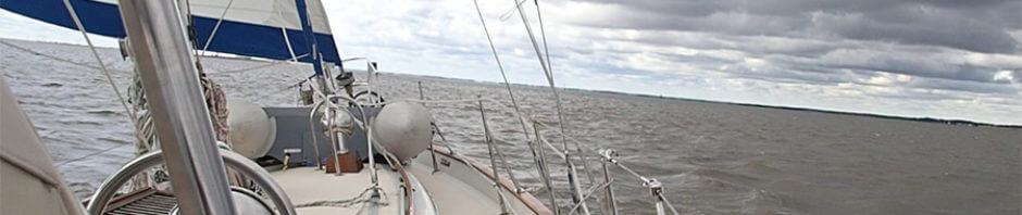
The chartbooks – all the NV chartbooks for the Caribbean and the Explorer ones for the Bahamas – have all been quite useful as well. We refer to them all the time. In fact, writing this off Normans Cay in the northern Exumas, I had the Near Bahamas chartbook out today as I studied up on the Berries. Even the chartbooks for the parts of the Caribbean that we did not end up getting to were useful as we planned. And, of course, we always have the pertinent chartbook out in the cockpit when we are underway. For water resistance, nothing can beat the Explorer Chartbooks, which are printed on a sort of plasticized page that can handle a lot of water and does not have problems when left wet (which we learned ourselves after a wet start to our trip from Cockburn Harbour to Leeward Going Through on the north and east coast of the Turks and Caicos). The NV Chartbooks do come with a nice clear plastic cover that protects them fairly well.
Next week I will do a similar update to our our original Caribbean guidebooks post.