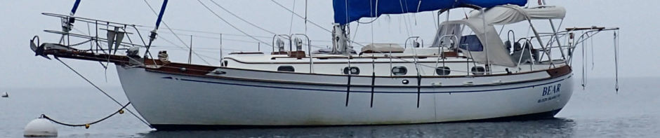
There are a lot of issues to be aware of on the Intracoastal Waterway, but keeping these notes handy, we managed to make it from Norfolk to St. Mary’s Georgia with no major problems. We actually wrote the notes into our copy of Skipper Bob’s Anchorages Along the Intracoastal Waterway, highlighting the most important points with a sweet orange highlighter. I would recommend making your own list based on the guidebooks, ActiveCaptain, the USCG’s Notice to Mariners, each individual Army Corps district’s navigational notes (especially the Savannah District), and whatever other information you can get from northbound vessels, TowBoatUS, SeaTow, etc.
I plan to write a few posts in the next week or two about the more problematic or interesting sections that I note below. I already posted some general comments about navigating the ICW.
As you can see, with the exception of bridges, the problems – namely, shoaling – get worse the further south you venture.
Mile 5.8 – Gilmerton Bridge – VHF 13 – M-F closed 6:30am-8:30am and 3:30pm-5:30pm; on demand all other times
We went the Virginia Cut Route because of draft (5’8”), so we do not have any notes for the Dismal Swamp Canal Route…sorry.
Mile 8.8 – Dominion Boulevard Bridge – VHF 13 – on the hour 6am-6pm weekdays, but not at 8am and 5pm; weekends and holidays on the hour 6am-6pm; all other times on request
Mile 11.3 – Great Lock – VHF 13 – southbound: enter on the half hour and get through by the hour – have dock lines at the ready, fenders are not really necessary
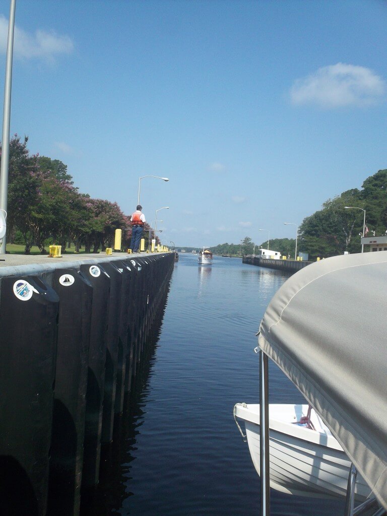
The Great Lock in the Virginia Cut
Mile 12 – Great Bridge – VHF 13 – opens on the hour from 6am to 7pm
Mile 15.3 – Centreville Turnpike Bridge – VHF 13 – will not open M-F 6:30-8:30am and 4:00-6:00pm, opens on the hour and half from 8:30am-4:00pm, and on request all other times
Mile 20.2 – North Landing Bridge – VHF 13 – from 6am-7pm on the hour and half
Alligator River – keep alert and be aware of stumps, logs, and other great stuff in the water even though this would be a great section to just throw it on autopilot and take a nap. I actually had a friend who spent four weeks in a small town along this route because they bent their propshaft on a tree after Hurricane Isabel back in ’03.
Mile 84.2 – Alligator River Bridge – VHF 13 – on request
Mile 203.8 – AIWW Railroad Bridge – open all day unless a train is coming, but it is closed from 7pm to 6am!
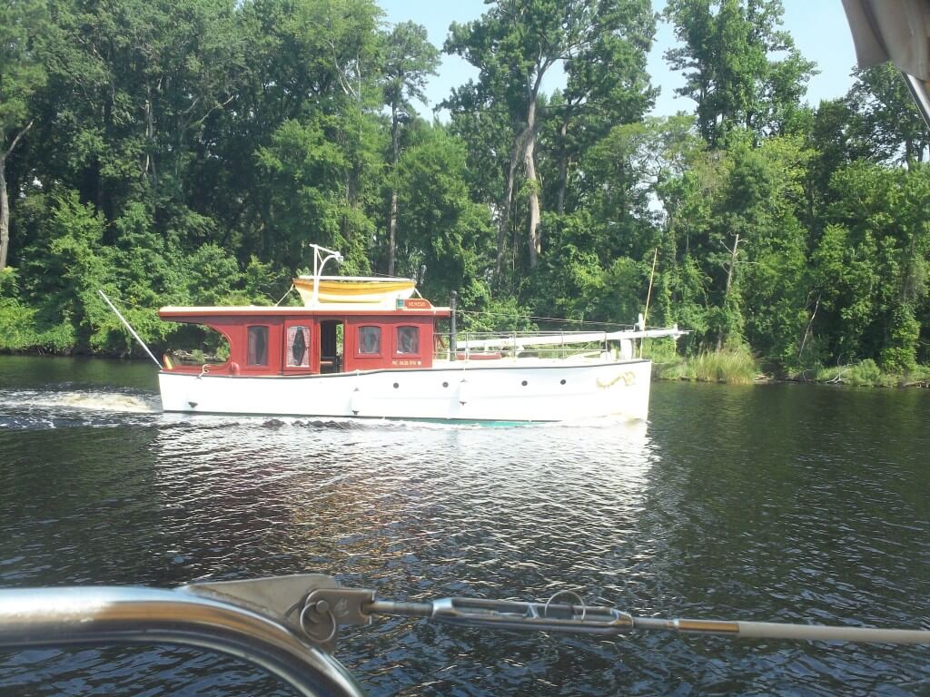
Some interesting – and infrequent – traffic on the ICW
About Mile 239 – R60-G63 – obstruction (reportedly a tank!) – obey the markers despite the fact that obeying G61A takes you outside the red on the north side; numerous boats have reported losing props and sustaining other damage
Mile 240.7 – Onslow Beach Bridge – VHF 13 – 7am to 7pm opens on the hour and half; the tender may be in “the generator room” and unable to hear your call; just keep calling and circling
Mile 260.7 – Surf City Bridge – VHF 13 – from 7am to 7pm opens on the hour
About Mile 270.5 – New Topsail Inlet/G99A – shoaling to 5 feet MLW – stay towards red side and exercise caution
Mile 278.1 – Figure Eight Island Bridge – VHF 13 – opens on the hour and half
Mile 283.1 – Wrightsville Beach Bridge – VHF 13 – from 7am to 7pm opens only on the hour (note the timing, or lack thereof, between the Figure Eight and Wrightsville bridges)
About Mile 295-297 – Snows Cut – rocks on red side of the channel – be very wary through here, there was lots of scary stuff near low tide
About Mile 320-321 – At Howells Point/G33-G41– shoaling – favor the right side
About Mile 329.5 – At Shallotte River/R76 – shoaling – favor the green side
About Mile 341 – G117 – shoaling – favor the green side
Mile 347.3 – Little River Bridge – VHF 09 – on request
Mile 349-353 – The Rock Pile – broadcast a securite call on both 13 and 16 – stay to the center throughout as there are supposed to be rocks on either side, it gets quite narrow in places, hence the need for the securite call to make sure there is no commercial or large recreational traffic coming the other way or overtaking you
Mile 354.3 – Barefoot Landing Swing Bridge – VHF 09 – on request
Mile 370.9 – Socastee Bridge – VHF 09 – on request
About Mile 410 – shoaling at entrance and early part of the Minim Creek Canal – stay middle
About Mile 430 – G35A-G37 – shoaling – stay in the middle of the channel
About Mile 437 – G57 – shoaling – stay in the center
About Mile 449 – R88-R90 – shoaling – stay in the center
About Mile 451 – G97-G99 – shoaling on green side
About Mile 459-462 – G117A onwards to the Ben Sawyer Bridge – extreme shoaling – wait for higher tide if your draft is an issue at all
Mile 462.2 – Ben Sawyer Bridge – VHF 09 – M-F closed 7am-9am and 4pm-6pm, holidays and weekends on the hour from 9am-7pm, on request otherwise. The restrictions are criminal because of the shoaling heading southbound. While the depths are a bit better in the last half mile to the bridge, I would adjust your speed an hour or more out in order to time the bridge if you draw more than 5’ or so.
Mile 470.8 – Wappoo Creek Bridge – VHF 09 – crazy ass restrictions that are really not that restrictive: Apr 1 – May 30 & Oct 1 – Nov 30, M-F closed 6am-9am and 4pm-6:30pm; Dec 1 – Mar 30 and Jun 1 – Sep 3, M-F closed 6:30am-9am and 4pm-6:30pm; on the hour and half from 9am-4pm; weekends and holidays on the hour and half from 9am-7pm; all other times on request
About Mile 480 – G39 to G41 – shoaling – favor red side
About Mile 497 – R110-G111 – shoaling – stay on the red side
About Mile 498 – G113-G117 – shoaling – stay in the middle
About Mile 501-502 – R130-R136 – shoaling – be alert, stay middle, obey all markers
About Mile 503.5-504.5 – Watts Cut – shoaling – stay middle
About Mile 511-519 – Fenwick Cut and Ashepoo Coosaw Cutoff – we headed south down the Ashepoo and then up the Coosaw Rivers to avoid the shoaling because we could not hit it at high tide. This introduced its own set of problems, which I will detail in a later post, but did allow us to avoid the shoaling in Fenwick.
Mile 536 – Lady’s Island Bridge – VHF 09 – M-F closed 7am-9am, 11am-1pm, and 4pm-6pm; between 9am-4pm opens only on the hour; on request otherwise
About Mile 570 – G39-R40A – shoaling – favor green as R40 supposedly does not float at low tide
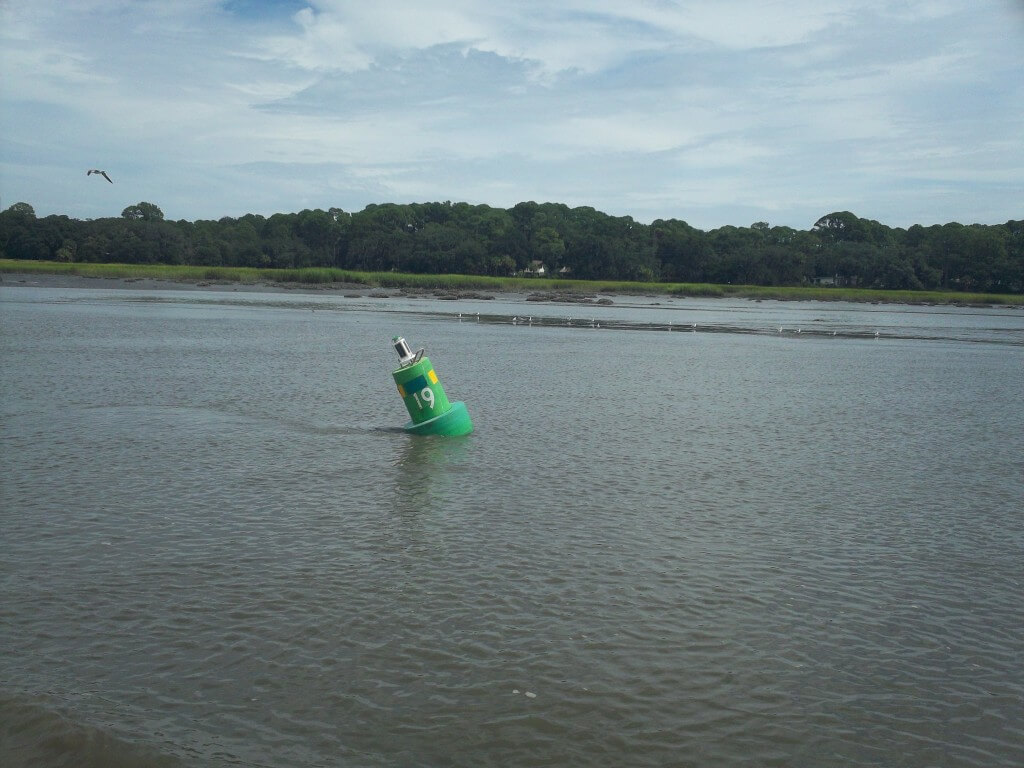
A marker partially “aground” in the ICW
About Mile 574-575 – Field Cut – extreme shoaling at northern entrance – 2-3 feet at low tide – use tide – slightly favor green on the northern half and red on the southern half
Mile 579.9 – Causton Bluff Bridge – VHF 09 – M-F closed 6:30am-9am and 4:30pm-6:30pm except that it opens at 7am, 8am, and 5:30pm; on request all other times.
About Mile 580.5 – R30 – shoaling – stay away from the red
About Mile 581 – G31 – shoaling – stay middle
About Mile 593.5 – R64 – shoaling – stay slightly towards green
Mile 592.9 – Skidaway Narrows Bridge – the draw bridge has been replaced by a higher structure – no worries despite what older guides and charts say
About Mile 601 – Hell Gate/G89-R90 – extreme shoaling – need tide – worse on northern entrance
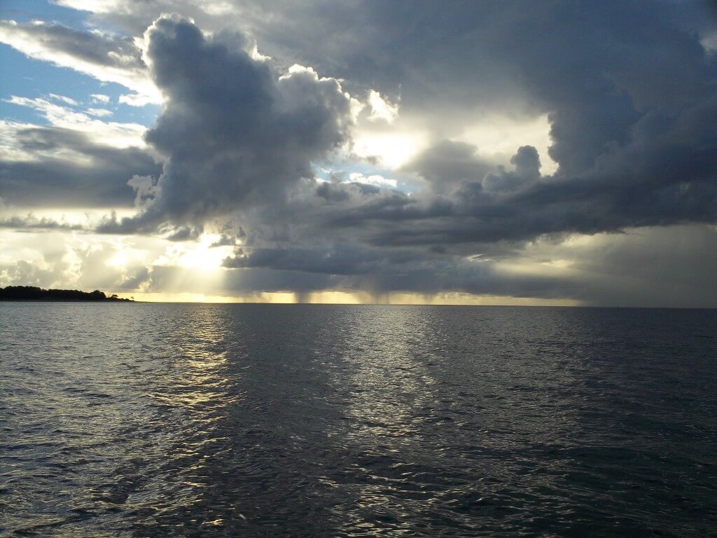
Sunrise in the Bear River on the ICW
About Mile 624.5 – R126 – shoaling – pass within 100 feet of the marker
About Mile 637 – R150 – shoaling – favor green side
About Mile 640-642 – Creighton Narrows – from the 90 degree turn southbound to the G155, favor red
About Mile 644 – R160 – shoaling – stay towards green
About Mile 653.5 – R190 – shoaling – just south of the marker, stay towards green
About Mile 654-655 – Little Mud River – shoaling to 7 feet at MLW (reports of shoaling to 5 feet at MLW) – stay in the channel
About Mile 659.5 – G211 – shoaling – stay towards red
About Mile 661 – R216-R218 – stay towards green
About Mile 666 – G231 – obstruction – stay away from the marker
About Mile 680 – G3 – shoaling – use the range markers and avoid G3
About Mile 681-684.5 – north side of Jekyll Island – shoaling – stay in the channel, 6 feet at MLW
About Mile 685-690 – reports of shoaling encroaching – obey all markers and you will be fine